


Recommendations Borrowing InformationMenu
Telling the Story with Maps
Maps of Early Illinois and Where to Find Them
Monday, February 10
6:30pm - 7:30pm
Santori Library
Meeting Room 126Ginger Frere will present a wide variety of maps that can be used to tell the story of Illinois and will provide suggestions for finding maps to tell your family story.
As the saying goes, "A picture is worth a thousand words." This is also the case with maps. From simple hand-drawn sketches to intricately detailed masterpieces, maps can convey immense detail. They can provide the names of places, distances, topography, geographical features, migration routes, land ownership, boundaries and political jurisdictions. Maps allow us to see the physical relationship between places. Maps can help us answer questions – how did our ancestors get from one place to another?
Ginger Frere, MLIS, MBA, is a professional researcher who provides a variety of research services to authors, professional historians, film makers and individuals interested in genealogy. Her primary research interests include Chicago history and the creation of online tools for genealogists. She was one of the driving forces behind the development of ChicagoAncestors.org.
AGE GROUP: | Adults |
EVENT TYPE: | Local History and Genealogy |
TAGS: | History | genealogy | Feed Your Imagination |
Santori Library
Hours
About the branch
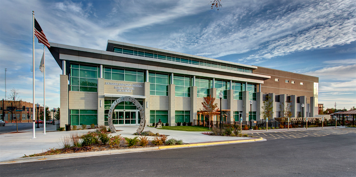
A state-of-the-art center for technology, information, literacy creativity and community. Equipped with a Makerspace, local history and genealogy room, teen space, and study rooms.